Rain, strong winds on tap for Wednesday
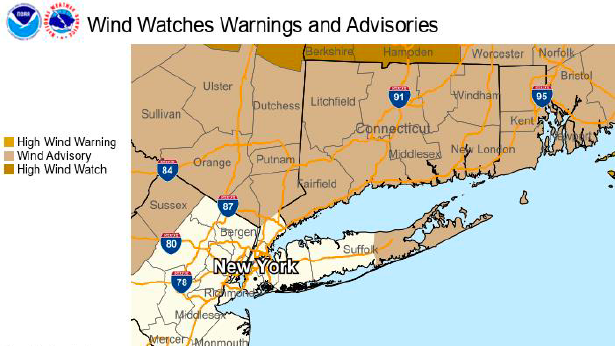
A wind advisory will be in effect for eastern Suffolk County starting at 7 a.m. Wednesday. Credit: National Weather Service
A powerful cold front could bring up to an inch of rain Wednesday to Long Island, with 40 to 50 mph wind gusts at night for eastern Suffolk, according to the National Weather Service.
The storm, which started Tuesday night, should pick up with high winds by Wednesday afternoon that could lead to some downed tree branches and power outages.
About a half-inch of rain was predicted overnight Tuesday into Wednesday morning. A lighter rain was expected throughout the day Wednesday with winds increasing by Wednesday night, said Jim Connolly, a meteorologist for the weather service.
“This is expected to be a bigger scale system with more widespread rain and stronger winds Wednesday afternoon and at night,” Connolly said. “There should be heavier rain in the afternoon and up to another half-inch in the evening.”
Winds are not expected to be a factor Tuesday night, he said. Consistent winds between 20 and 26 mph are expected throughout the day Wednesday. The strongest winds are expected to come with the cold front between 6 and 11 p.m. Wednesday, with the higher gusts in eastern Suffolk.
PSEG Long Island officials put out a statement saying they were on alert for the storm.
“PSEG Long Island is closely monitoring this latest weather front and we are prepared for potential impacts on the system,” said Michael Sullivan, vice president of electric operations.
Residents can report outages to PSEG by texting OUT to PSEGLI (773454) or on their app or website at psegliny.com/outages. Outages or downed wires can also be reported by calling 800-490-0075.

John Asbury is a breaking news and general assignment reporter. He has been with Newsday since 2014 and previously worked at The Press-Enterprise in Riverside, California.