Crowdsourcing's potential to help the needy

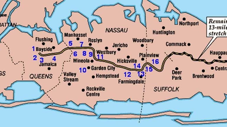
Long Island map Credit: Newsday archive
After the earthquake and tsunami in Japan, volunteers across the globe began creating Internet-based maps to visually demonstrate where, according to media reports from the country, aid is most needed.
The maps, which were used in a limited way after the earthquake in Haiti, are an example of crowdsourcing. That's a database -- in this case, a map -- that allows anyone to provide input. Such projects draw those with an expertise, sometimes thousands of contributors.
It's much the same as the user-moderated online encyclopedia Wikipedia or websites that display reported crimes as points on a map. The result is a visual indicator of how severe a problem is and where, as told by reports from the ground. It's an excellent way to direct aid from the international community.
To be more effective, a coordinated effort involving experienced organizations such as the Red Cross or the United Nations, is needed. This would lend credibility and working knowledge to the system. It's what we need to move fully into the digital age of disaster relief.
The lessons learned from crowdsourcing in Japan could one day benefit charities on Long Island. A map to which local groups would post data could help point food, clothing or other donations to areas that need it most. Charities could also post where and when they offer services.
Our world is ever more connected. Crowdsourced maps are allowing us to use technology to improve our world.
